Ground & Civil Engineering
From a stack of borehole reports to judgment the design team can actually use.
Background: real product screens and synthetic concept imagery — no customer-identifying information.
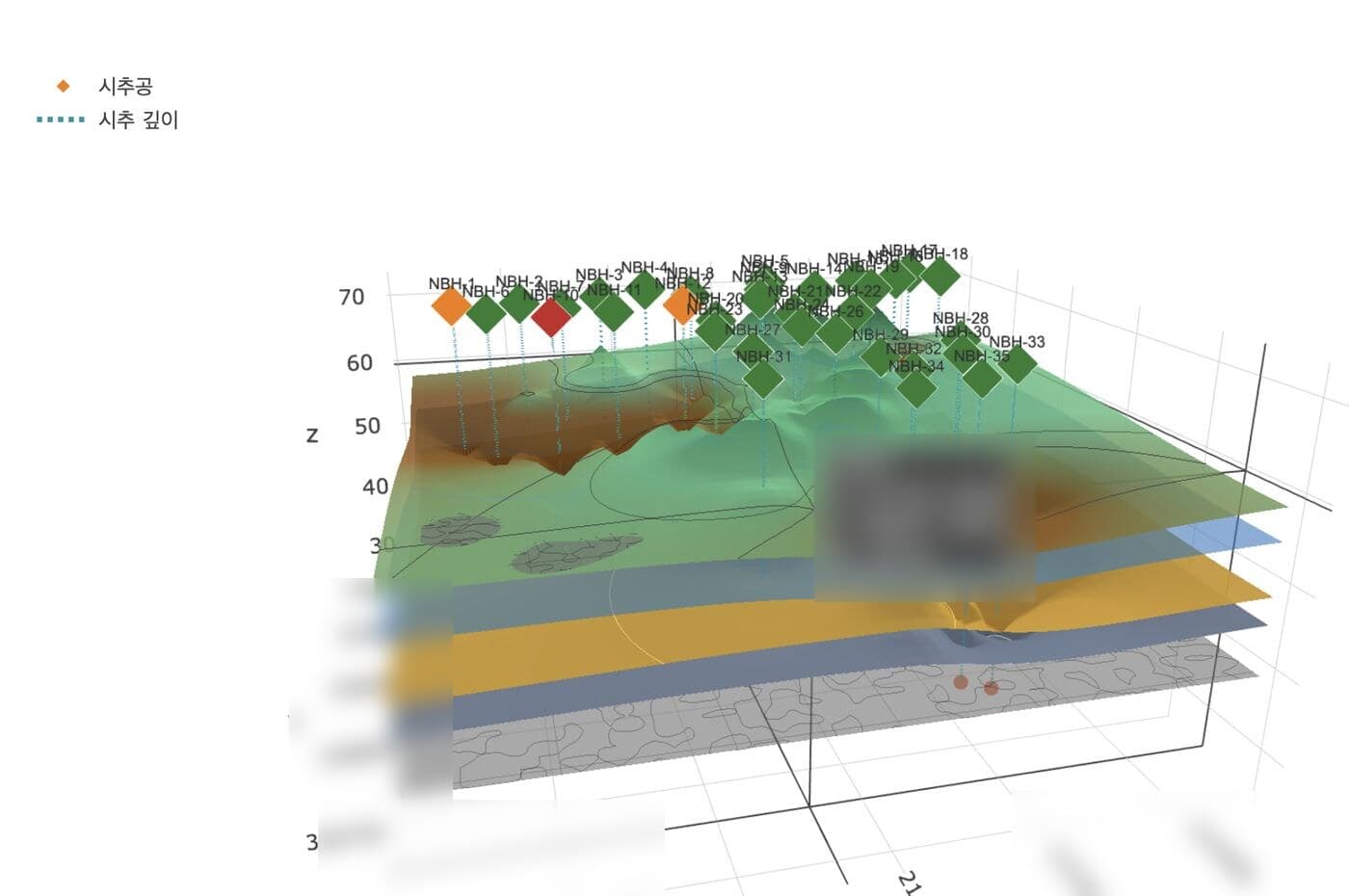
Earth-retaining design review used to mean people collecting and cross-checking hundreds of pages of geotechnical investigation reports against field instrumentation. Elevation notation that differs from drawing to drawing, boreholes scattered across documents, verdicts whose basis is hard to trace.
Earth-retaining design reviewers · geotechnical engineers · civil design managers at contractors who commission and accept ground analysis
The problems we solve in this industry
A drawing is only a drawing to the human eye
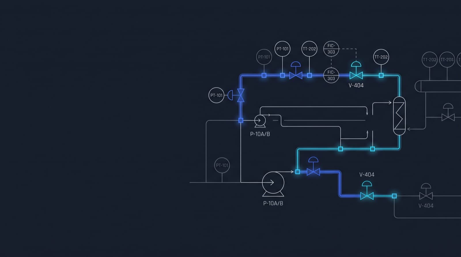
Pulling a single valve list out of hundreds of P&ID sheets still means retyping into a spreadsheet, and nobody can guarantee that what was typed matches the drawing. In many drawings the text has been frozen into curves — it cannot even be copied.
Deterministic first — we read the geometry and text of the vector PDF directly and decode tag grammar, symbol vocabulary and annotation conventions as explicit rules. AI is brought in only as a fallback on the last stretch determinism cannot reach, and every value carries its source coordinates and a confidence level so a person can check and approve it on the drawing itself. A verdict we are not confident in is never passed silently.
Engineering depth and maturity →The same number differs from document to document
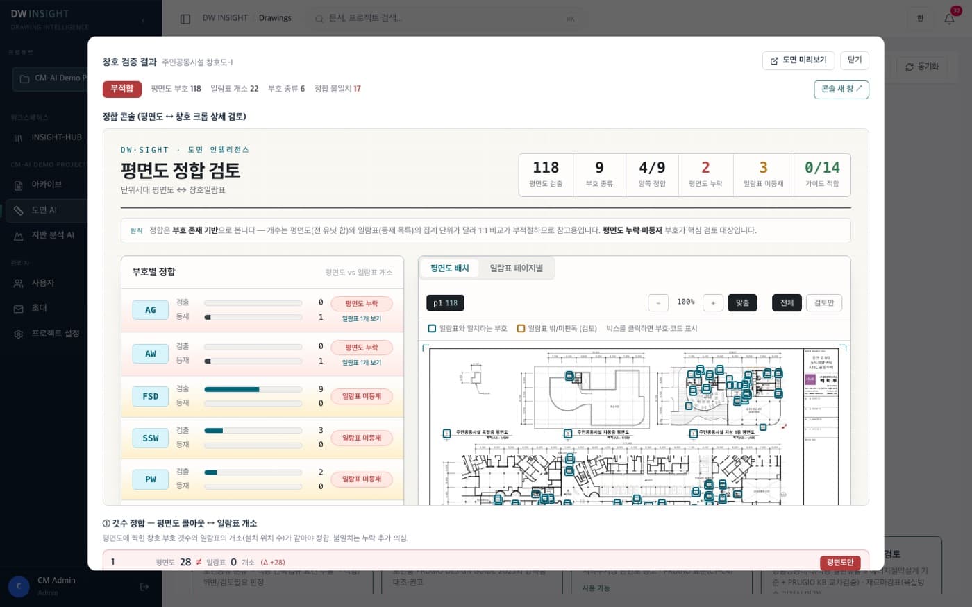
Whether the gross floor area in the design summary matches the total in the area schedule, whether the excavation level in the calculation sheet matches the elevation on the section — every revision is checked line by line with eyes and a calculator. One summation error in one table becomes a permitting and contract risk.
Summation, ratios and verdicts are performed only by deterministic decimal code, and the LLM is forbidden to do arithmetic. Results pass an independent check that is blind to the first conclusion and are issued in exactly four states (VERIFIED / MISMATCH / NEEDS_REVIEW / NOT_APPLICABLE), with every value traceable back to page, cell and coordinate. Click a number and the matching location in the drawing opens.
Engineering depth and maturity →Start with one set of your own ground & civil engineering documents
We run the technical verification demo on your real drawings and calculation sheets — see for yourself how evidence attaches to every verdict.